The consortium


![]()
Details for product :
| Upload date | 15 Jun 2016 |
| ECV | IV |
| Product file | greenland_ice_velocity_map_winter_2013_2014_v1.0.zip |
| File size | 169.6 MB |
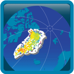
Preview image :
Description :
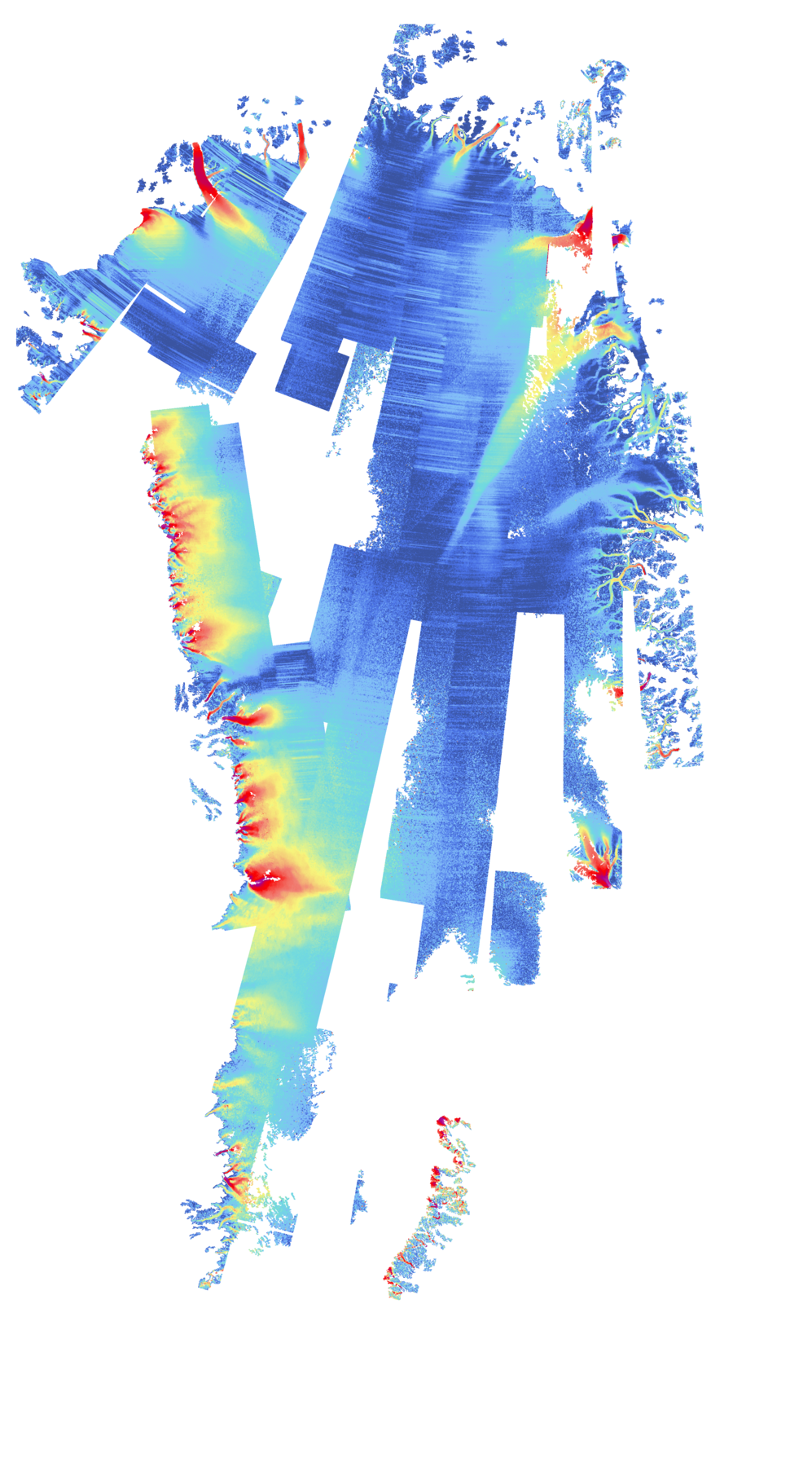
IV map of Greenland derived from intensity-tracking of RADARSAT-2 data betweeen 2014-01 and 2014-04.
Comments :
Ice velocity map of the Greenland Icesheet, derived from intensity-tracking of RADARSAT-2 data acquired between 21-01-2014 and 02-04-2014.
This data set is part of the ESA Greenland Ice sheet CCI project. It provides components of the ice velocity and the magnitude of the velocity.
The data are provided on a polar stereographic grid (EPSG3413: Latitude of true scale 70N, Reference Longitude 45E).
The horizontal velocity is provided in true meters per day, towards EASTING(x) and NORTHING(y) direction of the grid, and the vertical displacement, derived from a digital elevation model, is also provided.
Both a single NetCDF file (including all measurements and annotation), and separate geotiff files with the velocity components (vx, vy, vz and vv (magnitude of the horizontal components) ) are provided.
The product was generated by DTU Space - Microwaves and Remote Sensing. For further details, please consult the document:
T. Nagler, et al., Product User Guide (PUG) for the Greenland_Ice_Sheet_cci project of ESA's Climate Change Initiative, version 2.0.